|
Hiking around Whitehorse
Hiking routes around Whitehorse are introduced athttps://www.yukonhiking.ca/. The website is organized very well with detailed route maps. I cannot believe this is the site privately created. I picked up 2 routes from them for this travel. |
|
1. Jackson Ridge
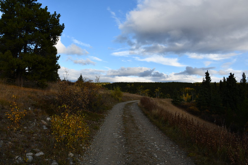
This is the route located west of Whitehorse downtown. It is a round trip from Louise Lake to the summit of Jackson Ridge. Because this route is too long for a half day hike (17km round trip), I organized to return in the middle of the route taking into account of the sunset time. The road to reach Louise Lake becomes unpaved on the way. You should not speed up too much though the road is wide and flat. I saw a car getting a flat tire on the way back. (He was smiling.) There was no clear trailhead. I decided to park at an appropriate place south of Louise Lake. |
|
|
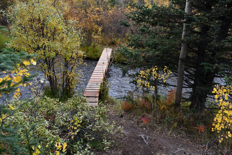
It was difiicult to find where I could across a small river. I eventually found a new small wooden bridge. |
|
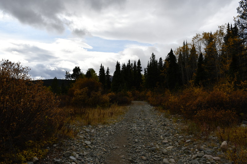
The trail was wide and a gentle slope. There were ruts looking like a small caterpillar wheel passed. I saw a small off-road vehicle coming across on my way back. |
|
|
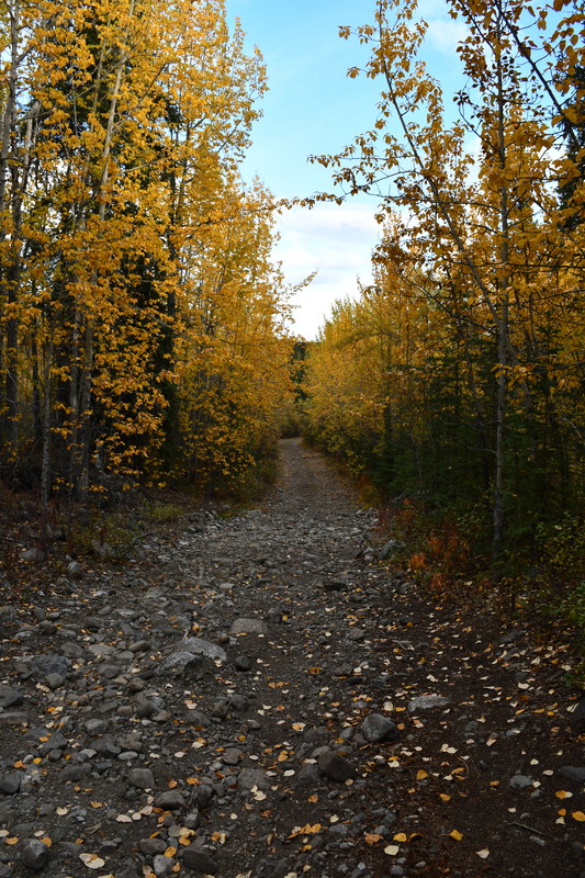
A flat trail continues in the beginning. After going with a view of Franklrin Lake on the left for a while, there is a junction in front of a small creek and the trail starts climbing along with the creek. |
|
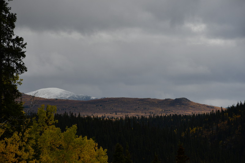
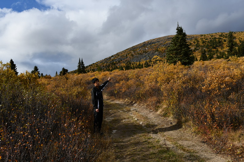
I saw surroundings with less trees as I gained altitude. I also saw mountains covered with parmanent snow. |
|

|
I had a greater view as I climbed. Clouds are gradually disappearing. Condition made me motivated to hike more. But I need to return soon because I should be back before sunset... |
|
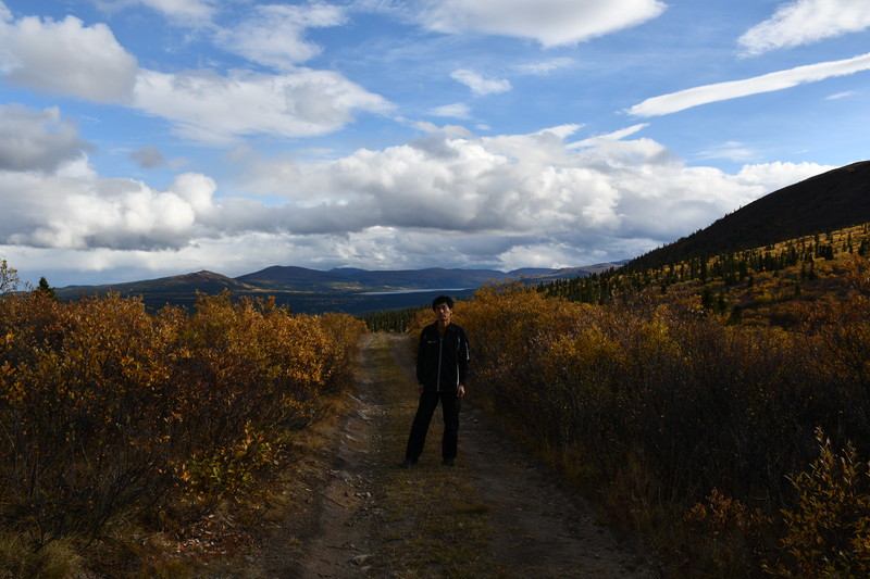
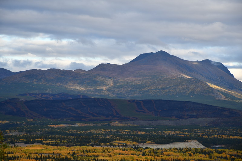
Eventually I stopped climbing at a junction (recognized clearly on GPS map of my smartphone) at around 1350m. A summit on the back of me is the Jackson Ridge. |
|
|
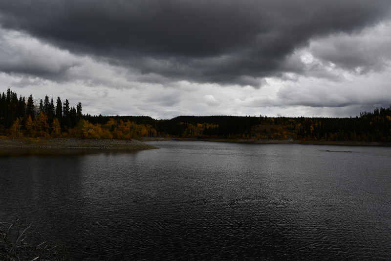
This is the view of the other side with Yukon river. |
|
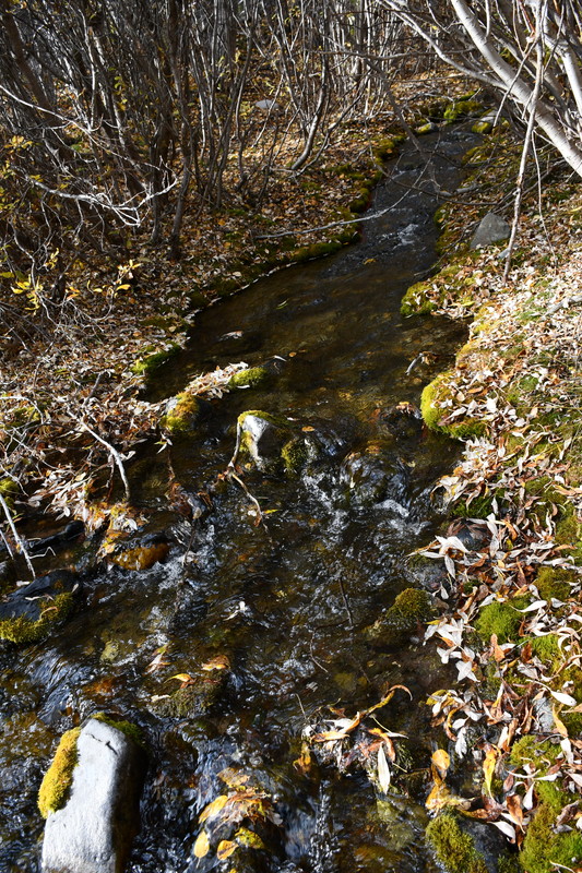
I went down to the bottom of the creek. I took water there and drank it. It was good and cold. |
|
|
Leaves were turning yellow with atmosphere. |
|
The sun went down but whether got better and I had sunlight. |
|
|
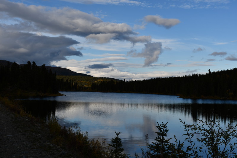
The lake reflect the view like a mirror. There was a family with their dog and they were only the people I met. It was a peaceful hike. |
|
2. Spirit Canyon
Spirit Canyon is located 50km west of Whitehorse, on the middle of Alaska Highway toward Kluane National Park. The trail is almost flat only a slight climb in the beginning and there is a view of Alaska Highway after the climb. This is a short hike with only 4 km of round trip. The summit is not s clear peak. |
|
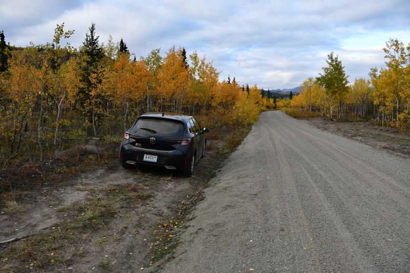
There is a trailhead after short driving leaving from Alaska Highway. The road is unpaved. |
|
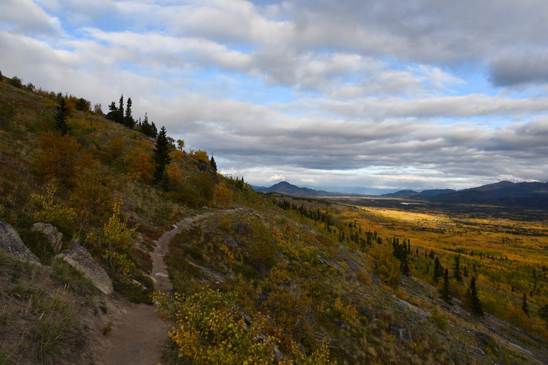
Just after a short hike, Alaska Highway becomes visible. There are no high trees around there. |
|
|
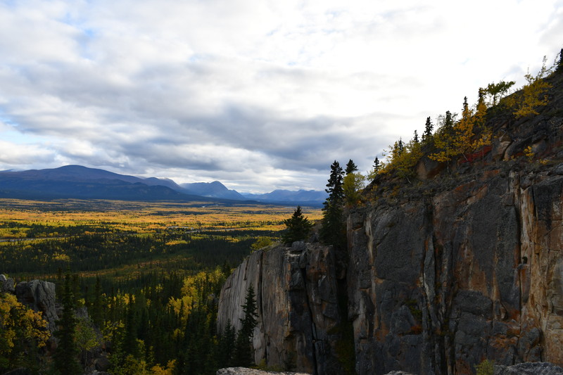
You can reach the destination with only a slight hike through traversing on the middle of a ridge. Spirit Canyon is not a clear summit, but a dead end of the ridge separated by a cliff. |
|
|
|
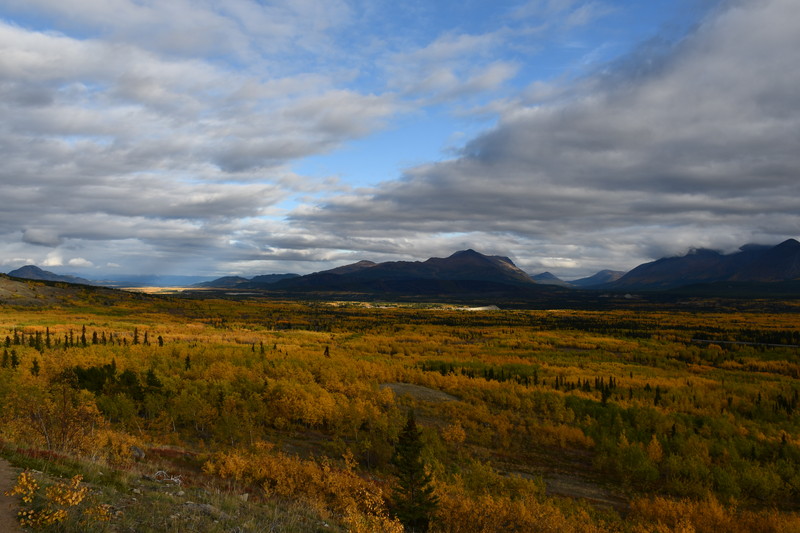
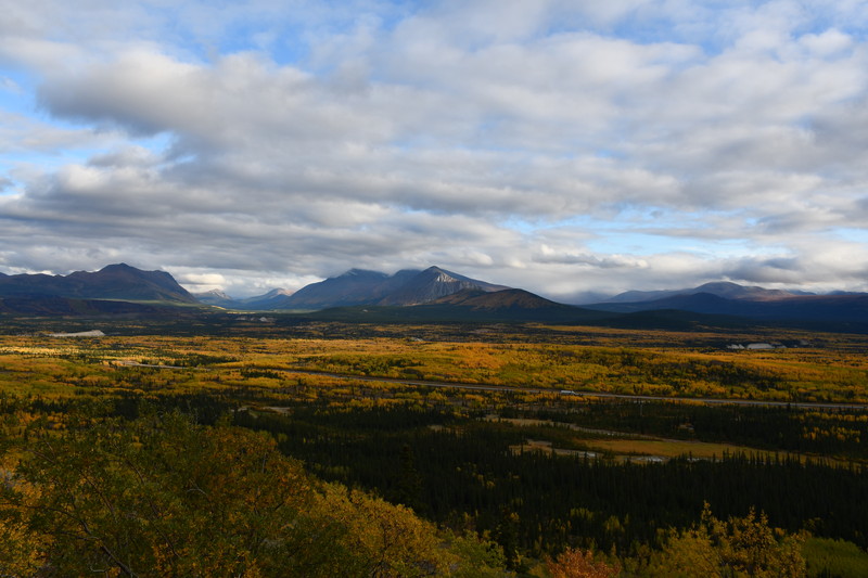
There is a great view northward with the highway.
|
|
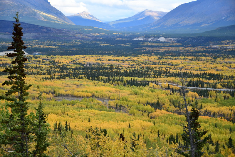
The photo looks like a painting. Popular yellow leaves here have a slight red color. I want to know the name of the tree. |
|
|
There seems to be a ski resort with open slopes eastward. Snow quality must be good all the time because here is very cold in winter. |
| Driving on Alaska Highway was also a fun and comfortable. |

|

|
|
|
|
|
|
|
| (Updated;10.9.2023) |